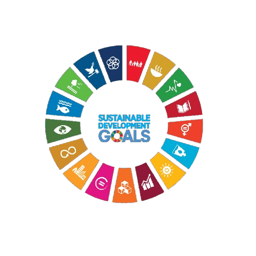
Aligned with
This conference contributes to global sustainability by aligning its research discussions and academic sessions with key United Nations Sustainable Development Goals. It fosters knowledge exchange, innovation, and collaborative engagement.
This track focuses on the latest innovations in satellite communication technologies that enhance data transmission and connectivity. Discussions will include the integration of advanced algorithms and hardware for improved performance in remote sensing applications.
This session will explore methodologies for geospatial data analysis, emphasizing the role of data analytics in interpreting satellite imagery. Participants will examine case studies that demonstrate the impact of analytical techniques on remote sensing outcomes.
This track aims to highlight the use of predictive modeling techniques in remote sensing applications. Researchers will present models that forecast environmental changes and assess their implications for infrastructure and resource management.
This session will delve into advanced feature extraction methods used to enhance the interpretability of satellite imagery. Presentations will cover both traditional and machine learning approaches for identifying and classifying features.
This track will discuss the development and deployment of innovative sensor technologies that improve data collection in remote sensing. Emphasis will be placed on the integration of new sensors with existing satellite systems.
This session will focus on the application of remote sensing technologies for infrastructure assessment and monitoring. Case studies will illustrate how satellite data can inform decision-making in urban planning and maintenance.
This track will explore innovative processes in remote sensing engineering that enhance efficiency and effectiveness. Topics will include workflow optimization and the integration of new technologies into existing systems.
This session will examine the role of satellite technology in aerospace monitoring and its applications in environmental assessment. Participants will discuss methodologies for tracking changes in land use and natural resources.
This track will highlight the intersection of Geographic Information Systems (GIS) and remote sensing technologies. Presentations will focus on how GIS enhances the analysis and visualization of satellite data.
This session will address strategies for optimizing remote sensing systems to improve data quality and operational efficiency. Discussions will include algorithmic enhancements and system design considerations.
This track will provide insights into emerging trends and future directions in remote sensing technologies. Participants will explore the potential impacts of advancements in satellite technology on various engineering applications.

Institute for Sustainable Innovation & Technology (ISIT) is one of the biggest professional organisations in South Asia and offers the greatest technical assistance to professionals, researchers, and students.

Copyright © All Rights Reserved Terms & Conditions